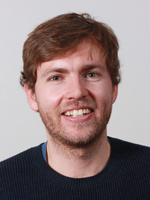
Getting Help from Undergraduate Students During the Summer.
Published:
Hey everyone! This summer, starting in late June, I had the privilege of working with two brilliant undergraduate students who helped map boulder outlines for the BOULDERING project. It was a fantastic experience mentoring them and tackling this enormous task together. Here’s how it went:
First, let me introduce the team. Emiliano Gonzalez, an undergraduate at the University of Pomona, joined through Stanford’s SURGE program. This program supports undergrads new to research who are interested in pursuing master’s or Ph.D. studies in Earth sciences, environmental sciences, energy sciences, or engineering. SURGE is an amazing initiative aimed at increasing diversity and inclusion in the geosciences (learn more about it here). Emiliano focused on understanding how target properties influence ejection processes on the Moon and how slow erosion from micrometeorite impacts affects boulder evolution over time.
The second student, Brian Amaro, is a Stanford undergraduate who received a summer research stipend. Brian’s work centered on boulder populations on Mars, particularly in areas of interest for Dr. Mathieu Lapotre. Instead of focusing on impact fragmentation, Brian explored boulders formed by other geological processes.
The first weeks of summer were all about mentoring. I introduced them to QGIS and the intricacies of mapping boulder outlines. You’d think identifying a boulder would be straightforward, but when you’re working with satellite images with a resolution limit of ~30 cm, it’s anything but. Smaller boulders often appear partially buried or oddly shaped, and illumination conditions in the images can make them tricky to identify. Together, we spent many afternoons developing a clear, consistent definition of what qualifies as a boulder—and what doesn’t.
We also established workflows for quality control, like cross-checking each other’s mapped boulders. Once the foundation was set, we aimed to map 400 boulders a day (roughly 2–3 hours of mapping). While none of us hit that goal every single day, we collectively mapped over 30,000 boulders—a number I could never have achieved on my own.
To cap it off, I taught Brian and Emiliano how to post-process the data in Python, so they could present their work and preliminary results in early August. They both excelled, and I’m confident their findings will make a splash at upcoming conferences.
On a personal note, I absolutely loved mentoring them. It was incredibly fulfilling to watch their skills grow over the summer, and I hope they enjoyed the experience as much as I did. Here’s to a summer of learning, collaboration, and a ton of boulders mapped!
Cheerios until next time! 😊
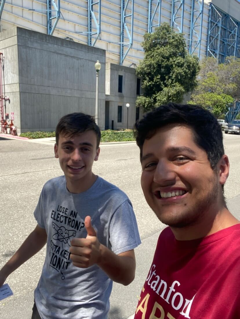 Caption: Brian & Emiliano, the two summer interns that will help with the BOULDERING project!
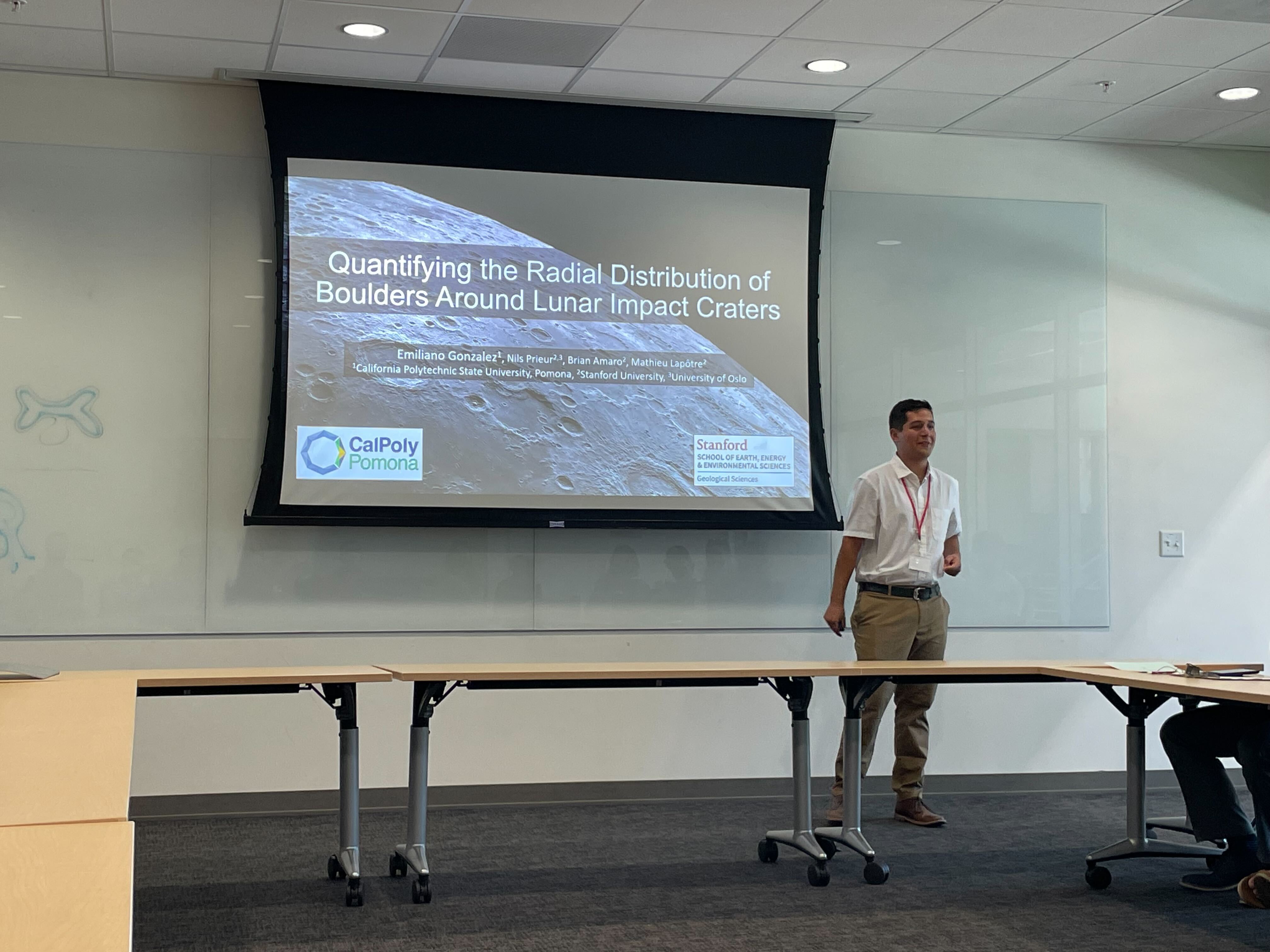 Caption: Siri is baaaack in the US! So nice :)
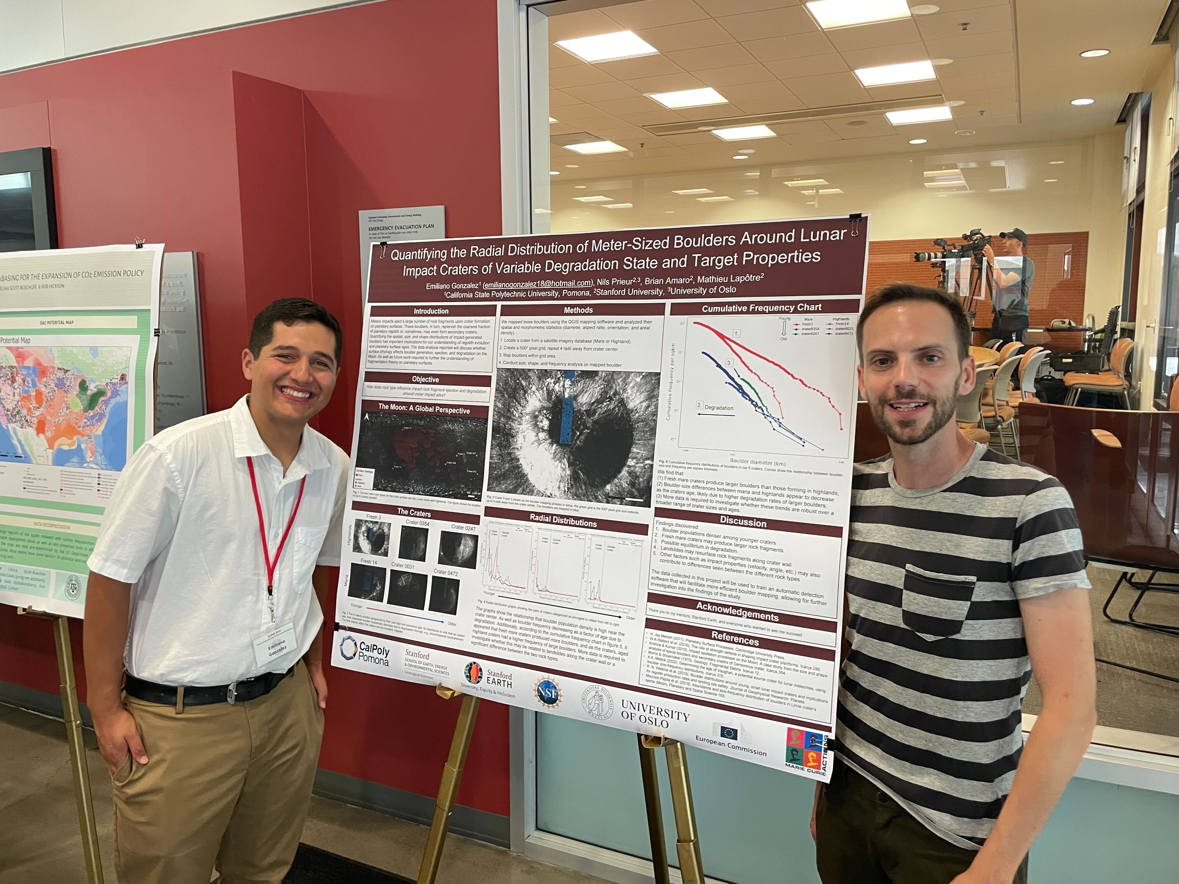 Caption: Emiliano and his mentor, Mathieu! The summer project culminated in a presentation and a poster presentation. Good job Emiliano!
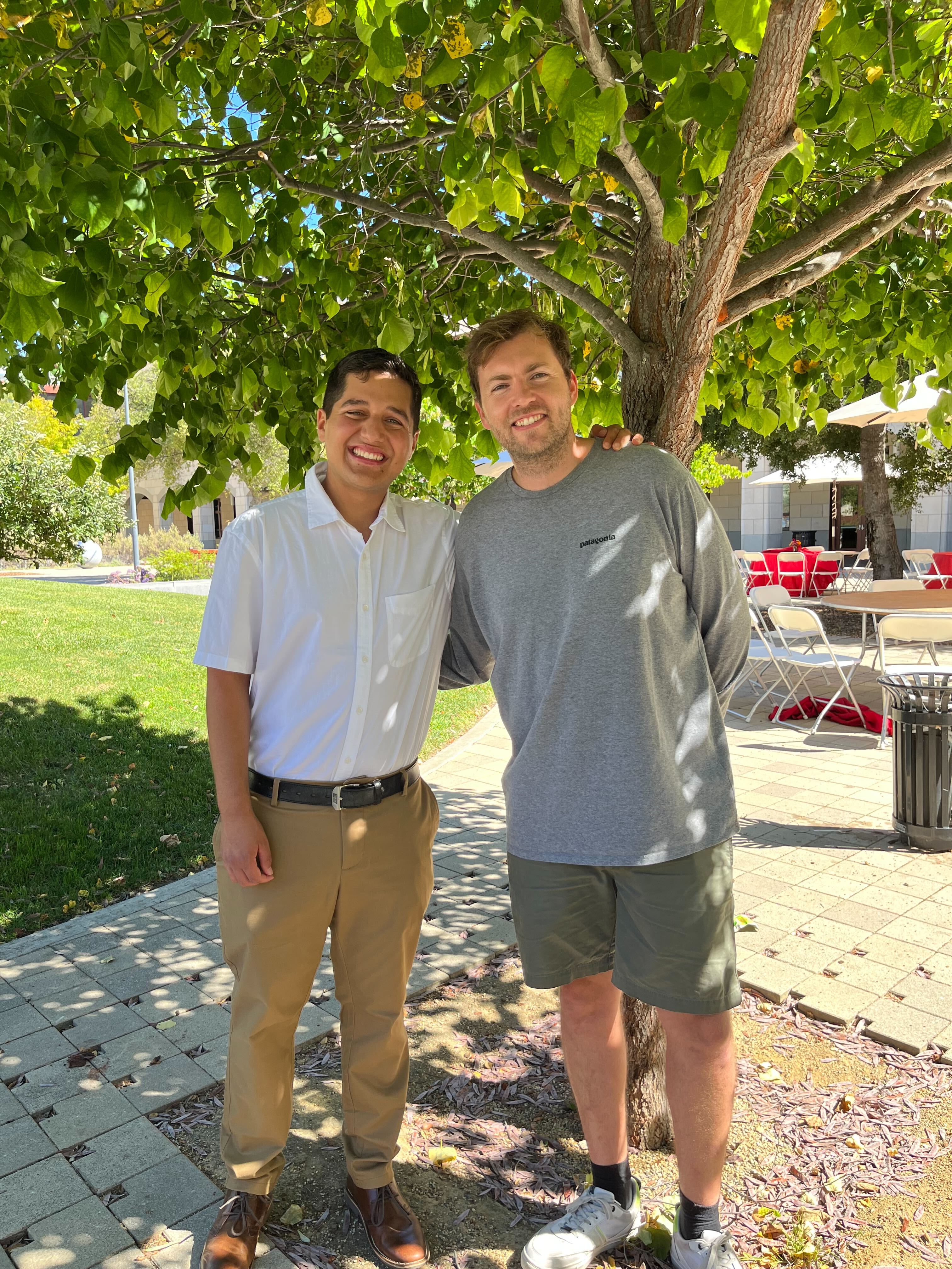 Caption: Emiliano and me. I am proud of what he has accomplished.
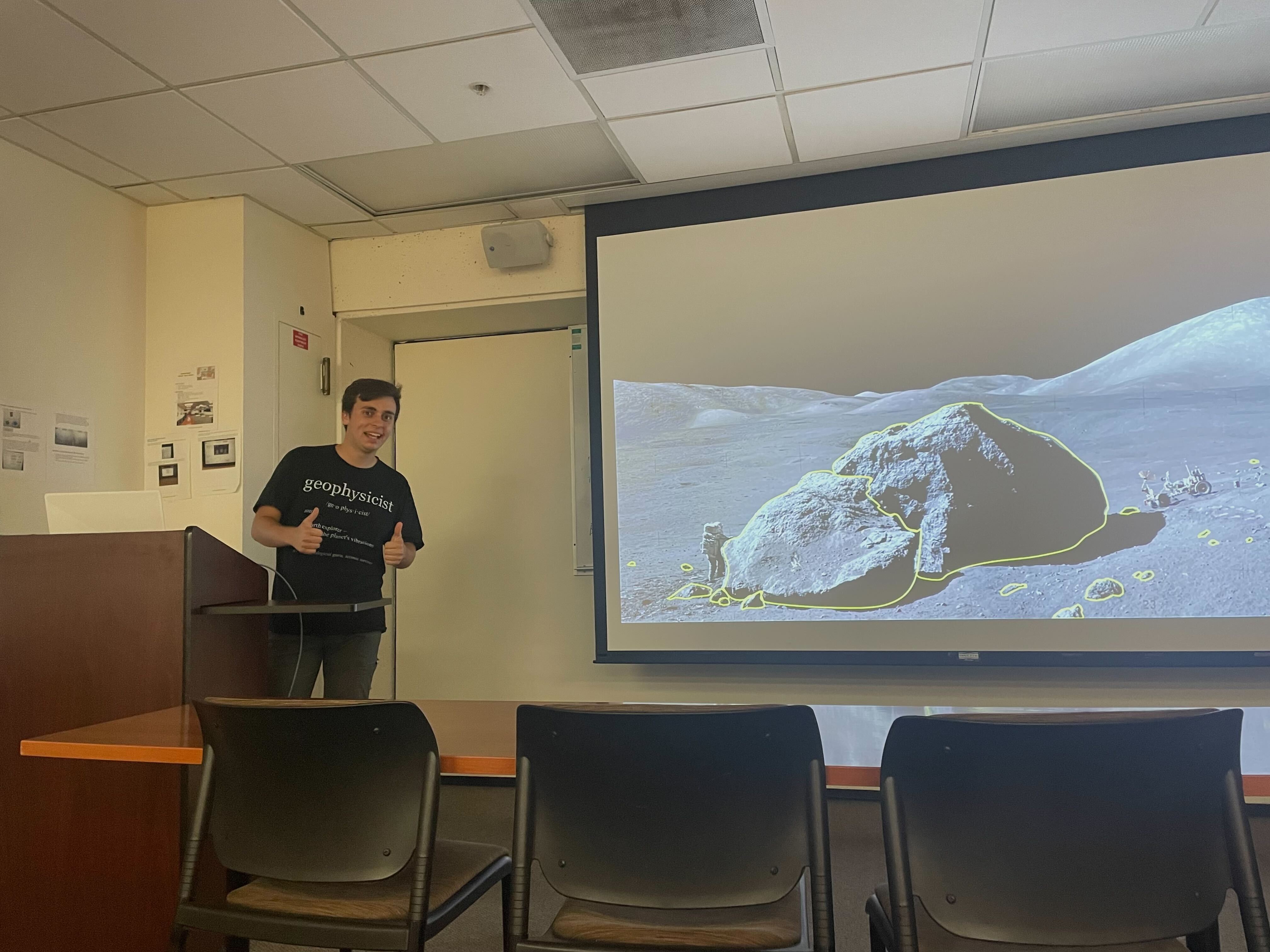 Caption: Brian presenting his results. Brian did an amazing job too!
