Drone Campaign/Fieldwork in Courtright Reservoir (Part 2)!
Published:
Hey everyone! The second part of the BOULDERING drone campaign is in the books, and what a special experience it was—this time, I had my parents as my field assistants! They visited me for three weeks in September, and I thought this would be the perfect chance to show them not just the incredible landscapes of California but also what I actually do in my research (fieldwork edition).
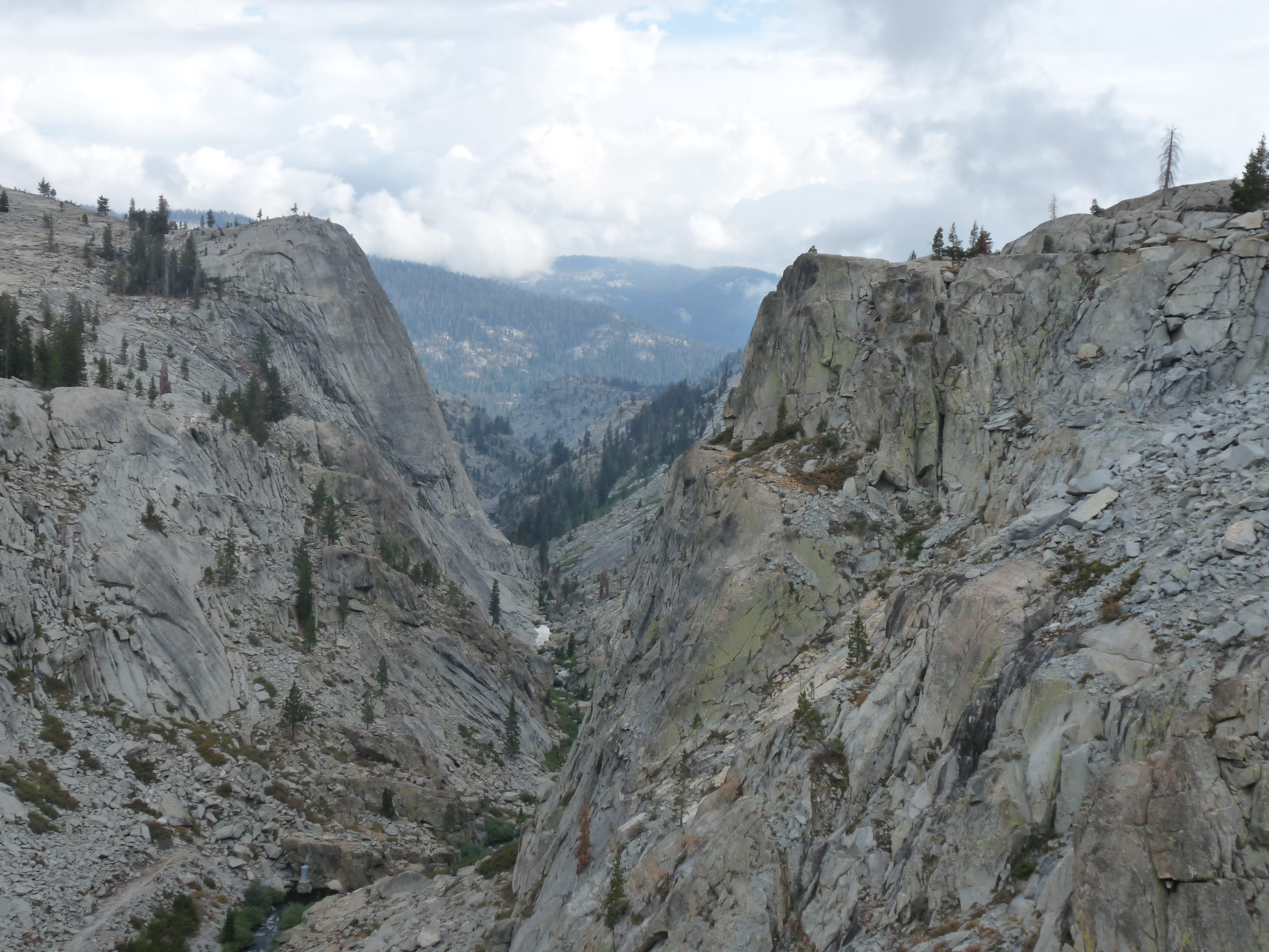
We kicked things off with an amazing 2–3 days exploring Yosemite National Park. From towering granite cliffs to serene meadows, it was the perfect way to set the tone for the trip. After Yosemite, we drove south to Fresno for a night’s rest, then set out early the next morning for Courtright Reservoir.
The drive was… let’s say, an adventure. Driving over the top of the dam felt surreal (is this normal in the US?), and the steep, narrow road leading to the parking area kept my heart racing. I’m not great at reversing, so I was very relieved we didn’t encounter any oncoming cars!
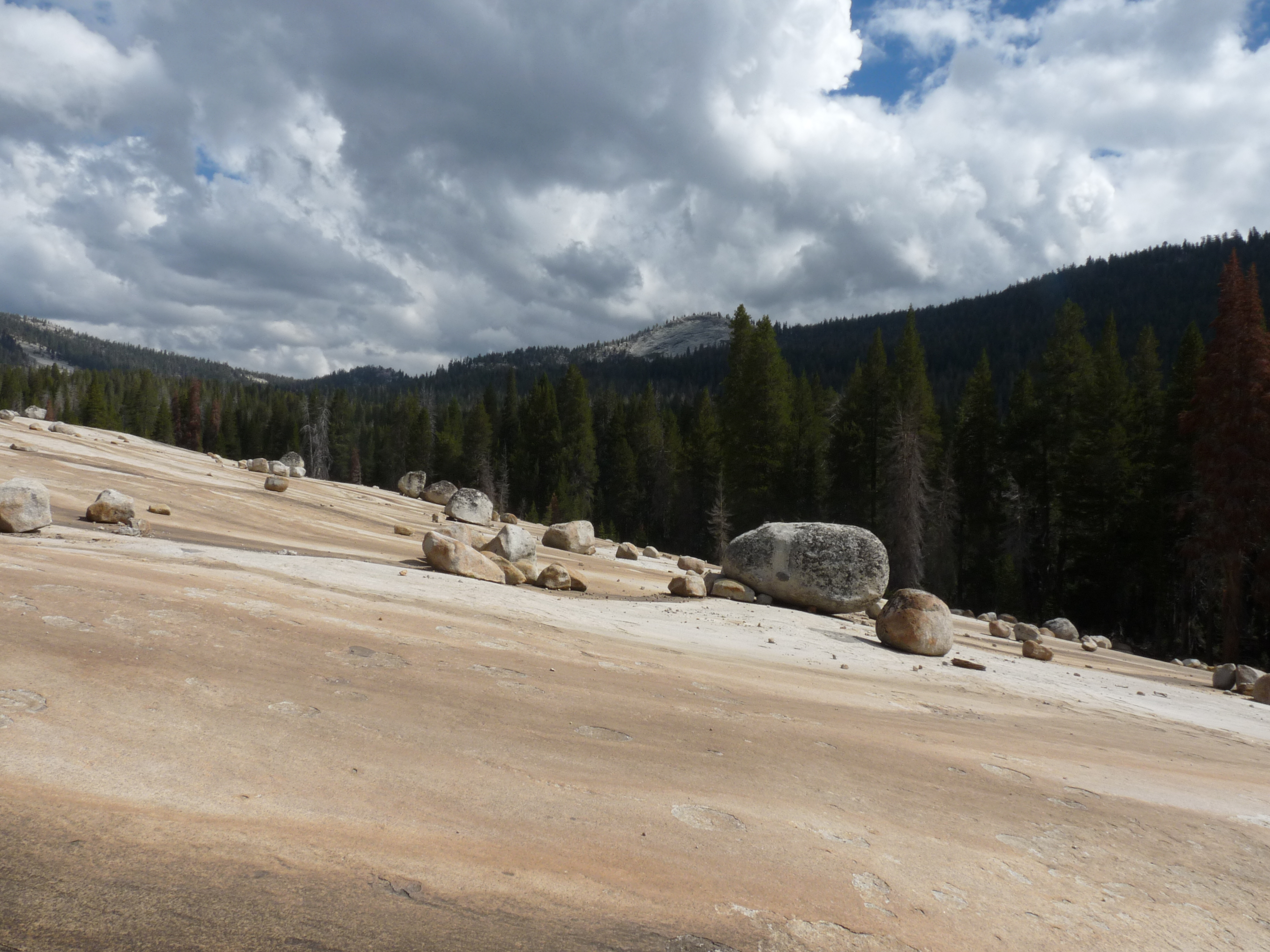
Once parked, it was just a short 10–15-minute walk to the field site, a stunning glacial boulder field left over from the Pleistocene era. The boulders were scattered over a gentle slope of 5–10 degrees, with a nice low density—ideal conditions for our study.
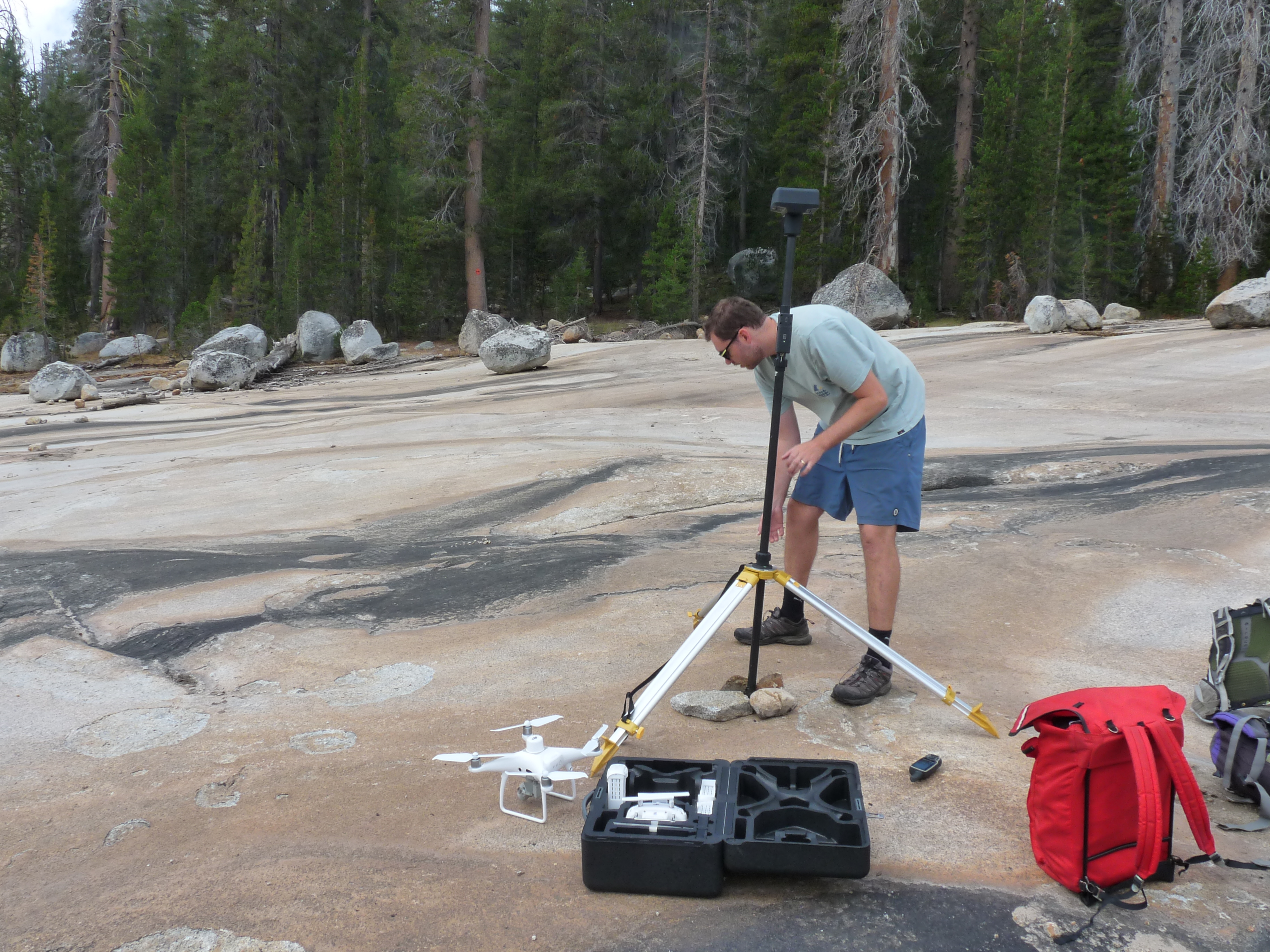
The drone setup went smoothly, much to the amazement of my parents, who thought I’d be piloting it manually. Nope! Thanks to the wonders of modern technology, the drone handled the flight paths autonomously. After the first mapping round, I explained our task:
- Select about 20 boulders.
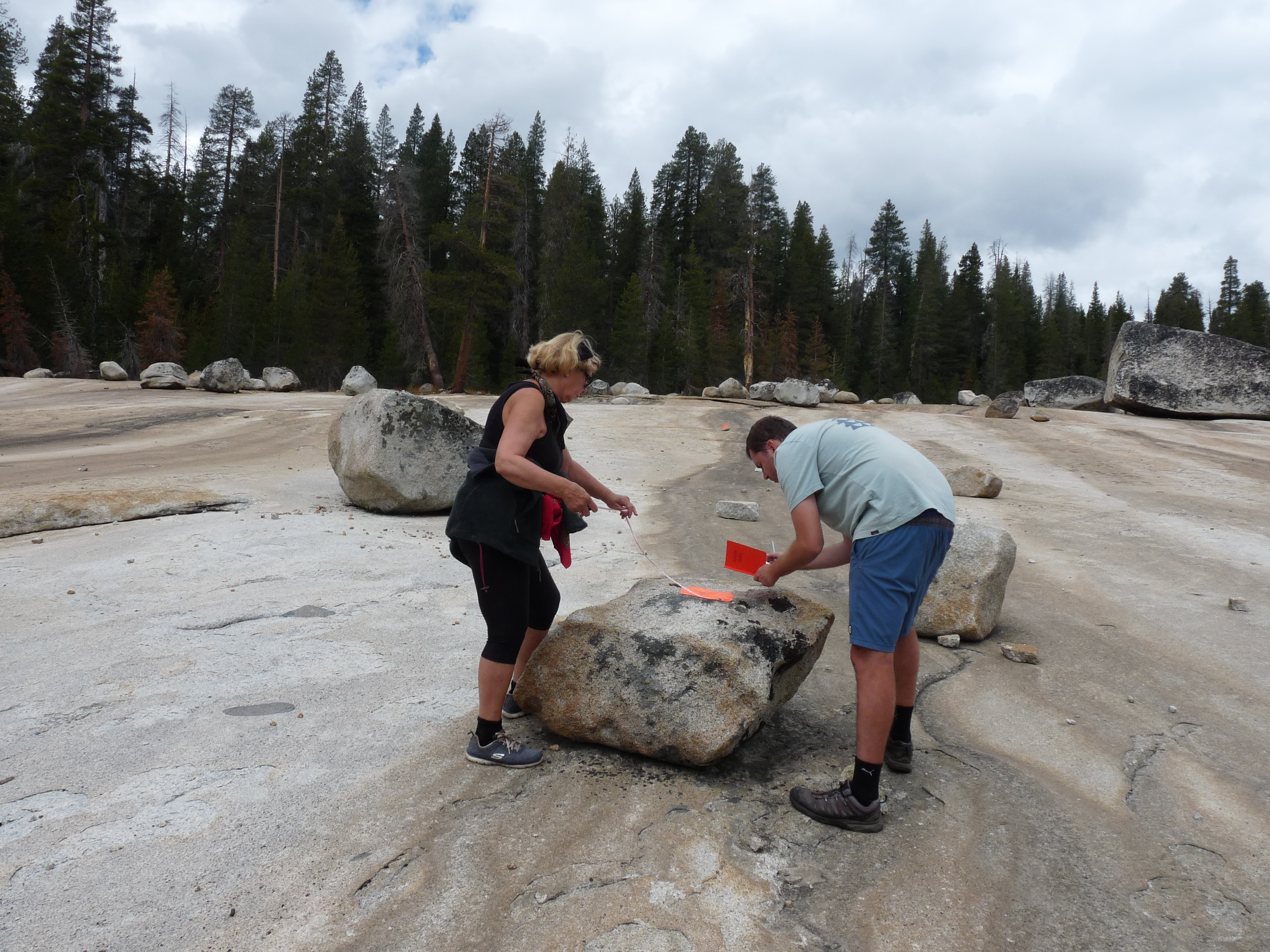
- Measure their long and short axes, as well as height.
- Take GPS coordinates.
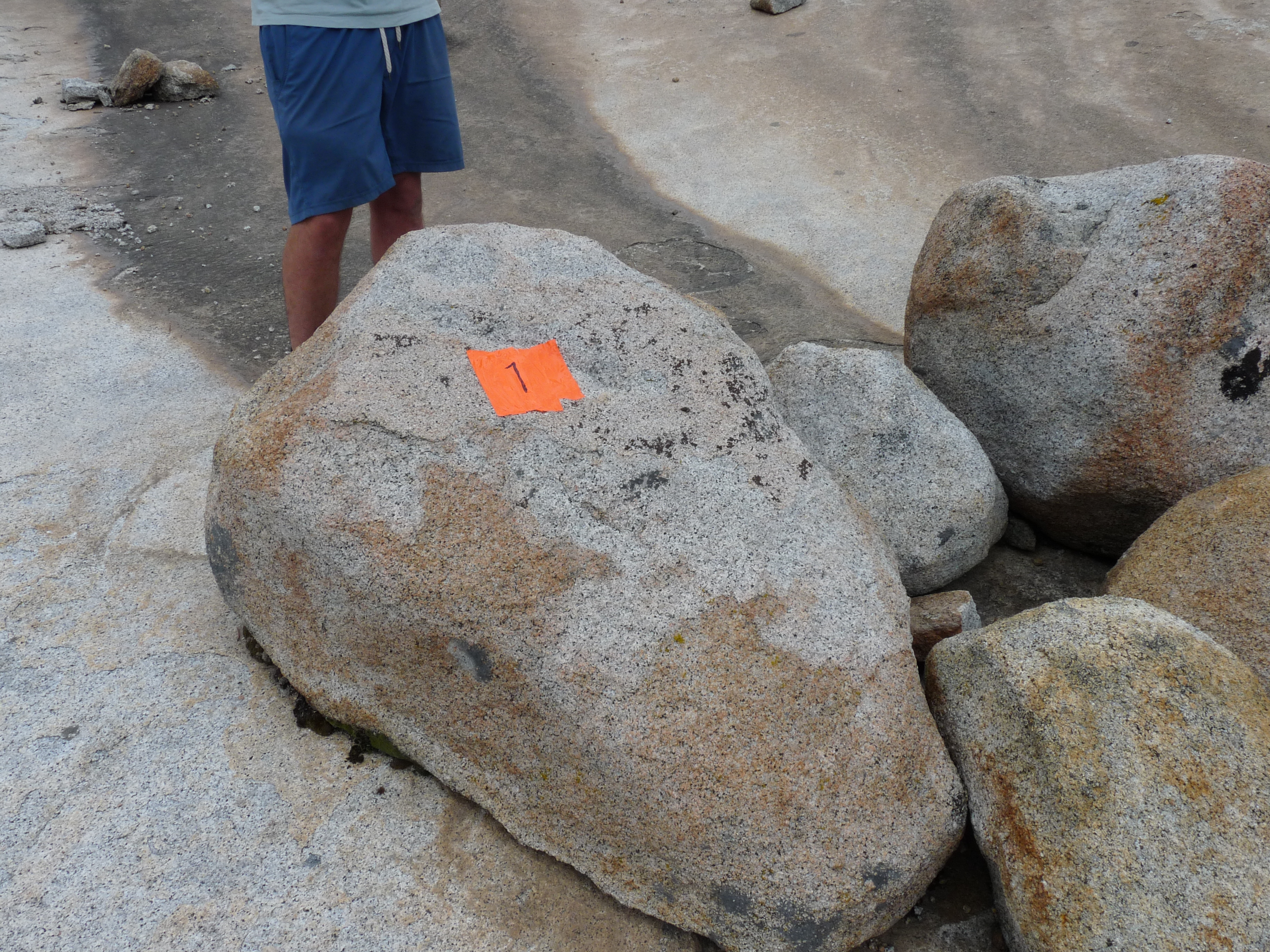
- Mark them with bright orange tape for easy identification in the drone images (GPS coordinates help, but visual markers make life much easier).
With their help, we wrapped up the measurements in about two hours, and the drone went back to work for a second mapping session. We hung around for a few more hours to complete a final flight, capturing data under different illumination conditions to study its effects on boulder detection.
Then came the long drive back to the Bay Area—six hours, but totally worth it. Combining a trip to Yosemite with fieldwork in the Sierra National Forest was such a unique experience. Huge thanks to my parents for being the best assistants I could ask for and always having my back. You two are the best!
Now it’s back to the lab, where I have a mountain of data to process and even more boulders to map. Not quite as exciting as being out in the field, but it’s all part of the process.
Until next time—see ya! 😊
